
Hawaii: Mauna Kea (13,796 feet)
Date: July 9, 2026
Distance: ~6.6-8 miles
Elevation: 13,796 feet
Vertical gain: 4,603 feet
Bathrooms: Portable toilets outside Visitor Center for early starters
Route: Humuʻula Trail
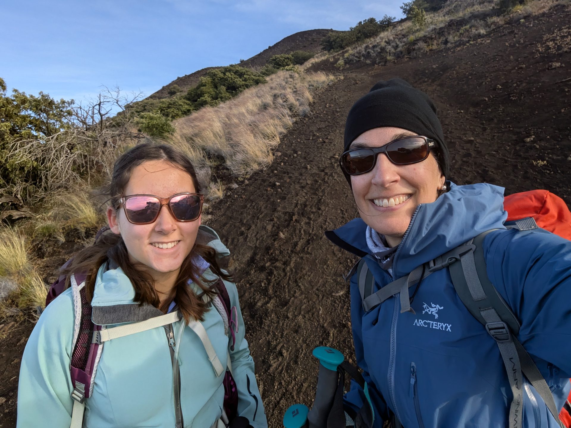
The Adventure of Completing a Major Goal – 49 Highpoints
The day started off not entirely perfect. I pride myself on being organized. So it shocked both me and my daughter when, despite our previously laid out clothing, carefully packed gear, and pre-filled water bladders, the car keys were nowhere to be found at 4 am. This flustered delay to our departure perhaps caused me also to miss packing the sandwiches we’d purchased the day prior. After a longer than necessary scurry back and forth between the apartment and the car, I found the keys – in my hiking pack, rather than on the counter where I’d left them all other days of our time on the Big Island. We were off.
Despite the surprise frenzy, we made good time on the empty roads and managed to arrive at the Visitor’s Center exactly at our targeted time of 6 am.
Acclimatizing
Breathing a sigh of relief that we were back on track, we headed toward the Visitor’s Center on foot. First order of business was to procure the requisite form from the wooden box outside of the closed Visitor’s Center. Once complete, we deposited our form with the ranger standing sentry just outside the parking lot.
The rangers strongly recommend, or perhaps require, a waiting period of 30-60 minutes before proceeding upward to aid with acclimatization. And, so our mandatory waiting began. The temperature hovered right around 35 degrees at the base that morning, so I instinctively went to pull on my mid-layer. To my mild horror, I discovered that in addition to forgetting our sandwiches (which I realized about halfway to the trailhead) and struggling to find keys, I also had neglected to pack my mid-layer top. Rather than shivering outside needlessly, we hopped back in the car to wait out our acclimatization period in some semblance of warmth. I did have my puffy and a rain jacket, so fingers-crossed I could journey on comfortably enough.
The Climb
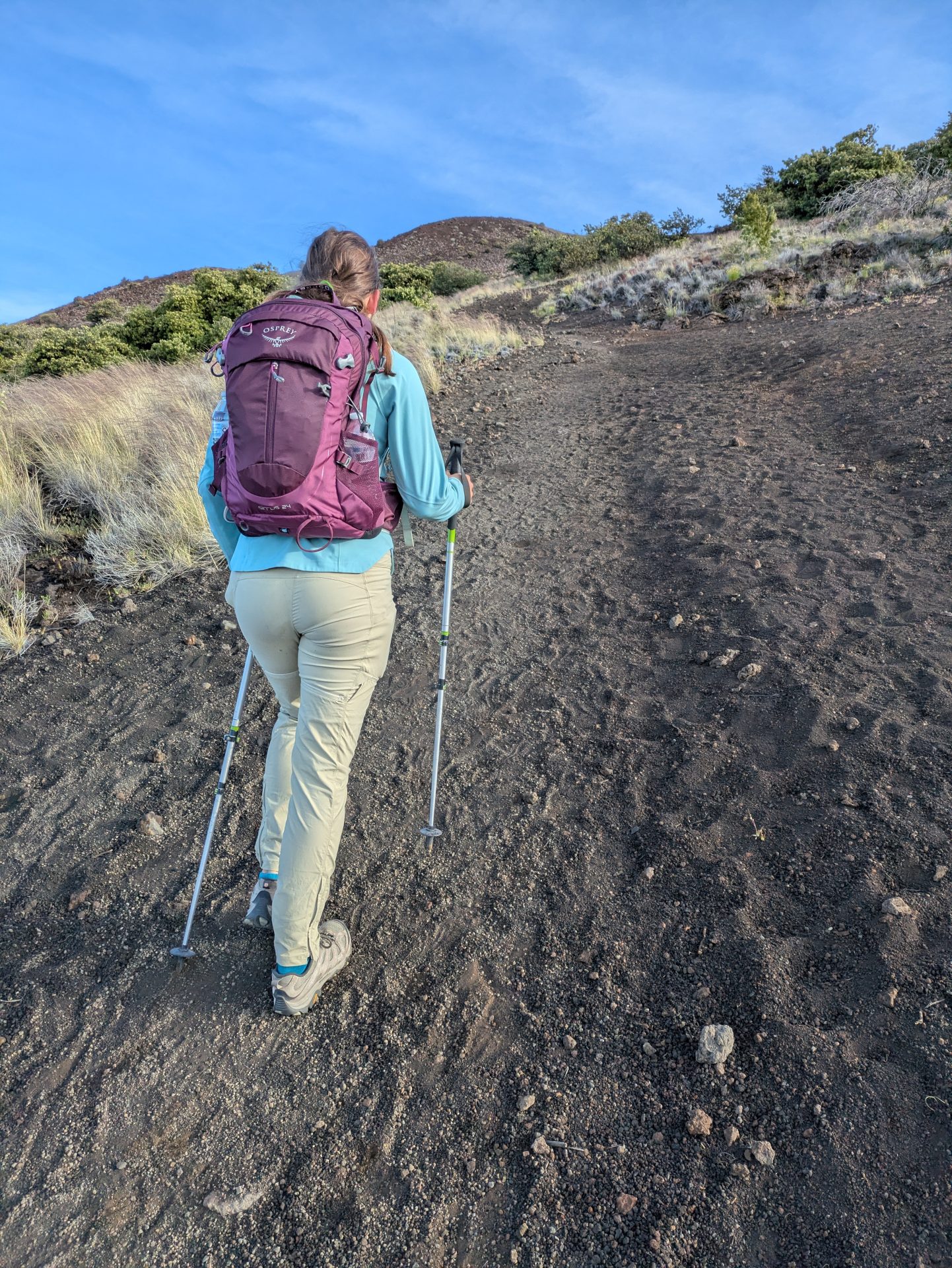
At 6:50 am, we re-engaged the ranger, someone new as they had switched posts during our waiting period. This ranger briefed us on the weather and offered clear instructions to the trailhead. She estimated 8 miles each way whether we opted for the trail or the paved road. Her final advice was to keep enough gas in the tank to get down if we intended to do it on foot. We opted for the trail, marking our starting time at 7:00 am.
The first 1,500 feet of gain came relatively easy. We’d expected the scree to be similar to Nevada’s Boundary Peak where with each step up, you backslide by half to three-quarters of a step, making for an extremely long, grueling, and soul-crushing day. Instead, we discovered that, while yes, we were hiking up volcanic rock, our feet had quite a bit of purchase and tended to stick with each progression. Likewise, we did not need the gaiters we’d brought to fend off scree. This was by many measures a tame, easy to manage terrain relative to expectations.
Around 11,200, headaches set in for both of us. Again, a surprise because we both have a history of adjusting to comparable altitude much easier. The difference here was that we went directly from sea level with only a brief stop at the base before climbing. No real acclimatization of which to speak. But, onward we trekked.
Climbing higher, we spent time walking through a cloud. This soggy experience was still super cool, though, because ascending clouds is not an everyday occurrence for either one of us.
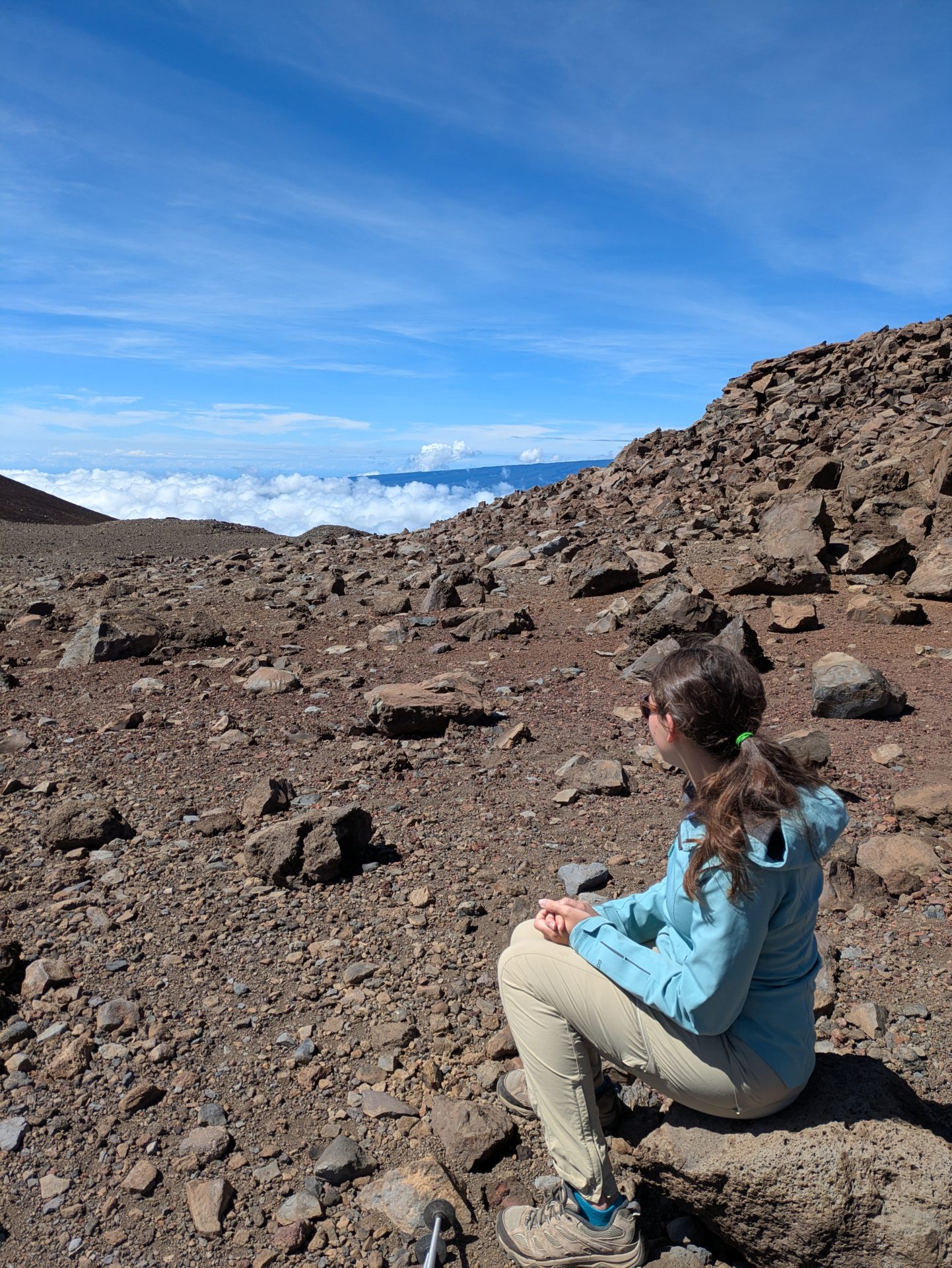
Just above the clouds, we stopped to refuel. The damp ground found me seeking a dry sitting area, so naturally I opted for my pack. Backpacking on glaciers, I’ve been trained to use my pack as a seat at rest stops. So this seemed like a solid, well-tested plan. Except on this hike, I made the mistake of sitting on my water bladder, causing the entire 3 liters to empty. Now, I’m contending with the extra challenge of a doused back of the pack and soaking pants at my butt.
This was not my most graceful of climbs. I was clearly out of practice with highpointing, but I remained positive. Luckily, I had carried another liter in bottles as backup and my daughter still had her remaining supply intact.
Continuing upward, headaches continued to become more powerful. At the next snack break, a relaxed, earthy solo climber spawned in out of nowhere announcing cheerfully that we only had 2k more to go.
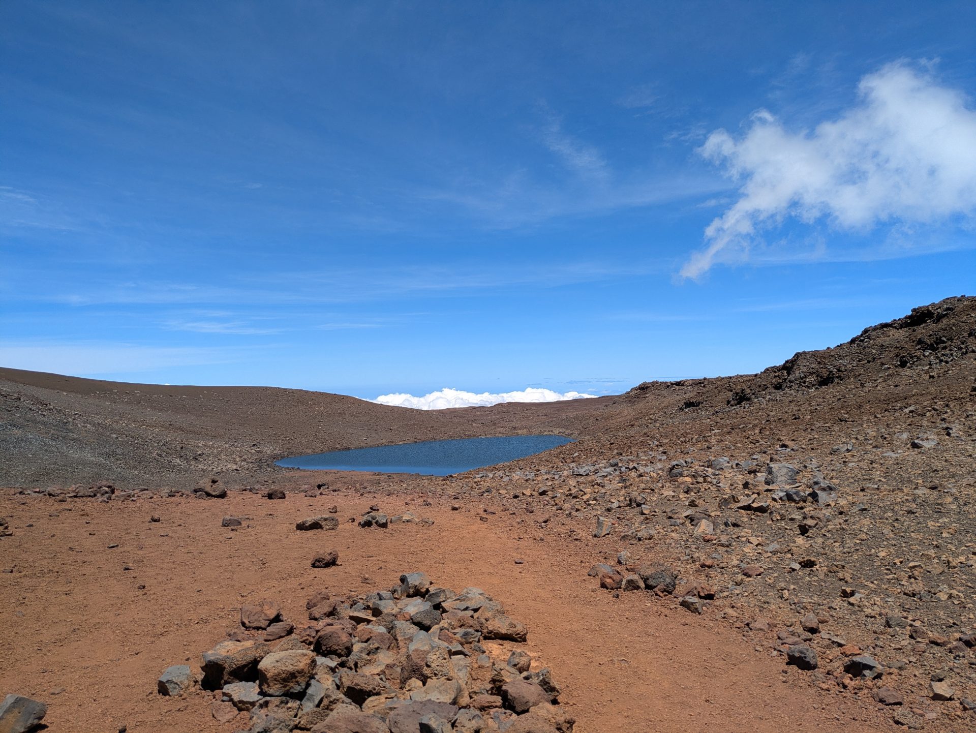
We kept on pushing through terrain that we decided must be similar to the surface of Mars until we reached, via slight detour, one of the highest lakes in the United States. We paused to take in the scene – worth the detour if you’ve got the energy.
Shortly after the lake detour, the Observatory becomes visible. This put some pep in our step as we closed out the final stretch of gravel. At this point, the trail connects with the paved road, requiring hikers and cars to share the final switchbacks for one mile. Perhaps because the terrain was no longer rugged volcano, this last mile felt slow, painful, and uninspired. But, before I knew it, around 1:00 pm the sign announcing the top of Hawaii emerged.
Moral Decision at the Summit
Now, here’s where climbers have a choice. Native Hawaiians ask that hikers stay off of the true summit, which is considered sacred ground. Rangers reinforce and impress upon hikers the importance of this request during the check-in process.
I struggled with this moral decision for years leading up to the climb. On the one hand, I didn’t want to go that far and not stand on the true highpoint. On the other, I wanted to observe and respect the local expectations. It wasn’t until I was actually standing there that the right answer for my particular journey became clear.
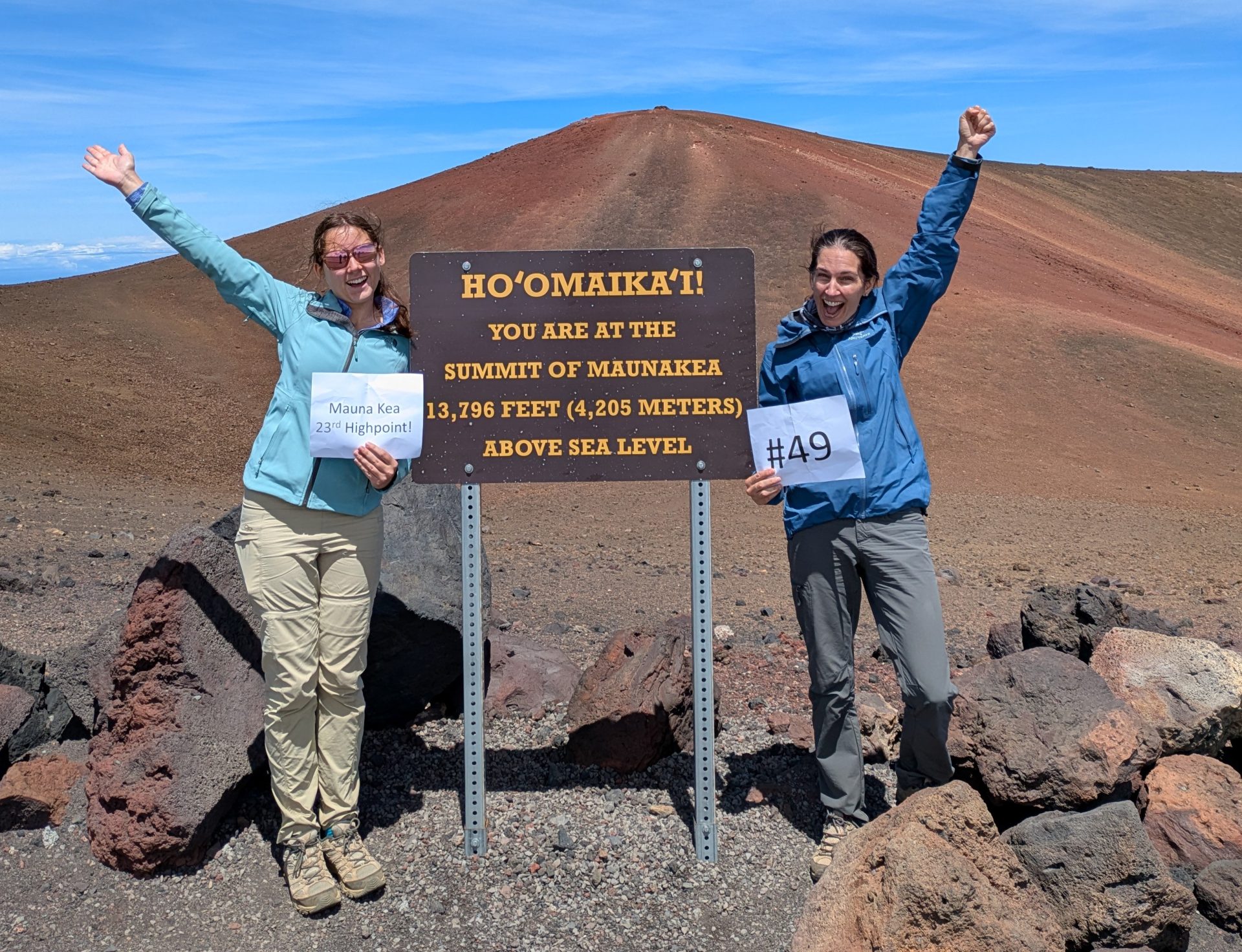
Out of respect for the Native Hawaiians’ request to stay off of their sacred land, we did. We stopped at the sign without setting foot on sacred ground. The Highpointers Foundation and Highpointers Club recognize this sign as reaching the highest natural point in Hawaii, so it counts. This decision felt right and still feels right for me as I craft this post weeks later.
The Descent
The ranger’s words were ringing in my ears – leave enough gas in the tank to get down. With a mounting headache and no real food in our packs, a walk down didn’t seem optimal when we had the option of hitching a ride. Luckily, a super nice couple was hanging out at the top, celebrating the man’s milestone birthday. They offered us snacks, water, and a ride down, also snapping photos of us at the sign. Holden and Jordan – we had a blast hanging out with you and are incredibly grateful for your generosity!
Our trip down was decidedly shorter. While the climb up took roughly six hours, the trip down lasted under 30 minutes. During the ranger check-in at the bottom, our new friends heard an ominous hiss coming from the back left tire. This kicked off adventure part 2 – changing a flat tire, which none of us had ever done. Thirty minutes later with the help of Google, YouTube, and another Jeep’s key to unlock the spare tire on this rental, our team successfully changed the tire and the couple carried on their way.
Final Thoughts
Climbing Mauna Kea as my 49th highpoint carries incredible meaning as I achieved this important milestone with my daughter. 49, not 50, was always the goal. That’s not to say that I won’t ever take on Denali; it’s just that my original goal that began with a failed attempt on Rainier in 2011 is now complete 15 years later. I feel a great sense of pride for having journeyed this country through a somewhat unique lens. With a deep sense of quiet satisfaction, I can now confidently declare: Mission accomplished.

Our favorite activity outside of Mauna Kea was nighttime snorkeling with manta rays – an absolute must! We also enjoyed a luau and hiking the lava tube in Volcanoes National Park. Enjoy your highpoint and time on the Big Island. Cheering for your journey!


